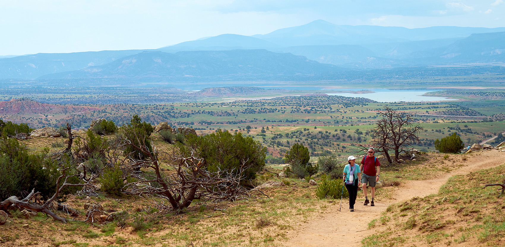
This is a pertinent virtual meeting looking at New Mexico’s present water situation and the science and data as to future water availability. There are five different two-hour sessions during the month of January (on the 8th, 12th, 15th, 19th, and 22nd). The speaker line-up is credentialed in the field of water data and policy. Register now. It is free. Mid Rio Grande Water Advocates
Category Archives: Issue 11
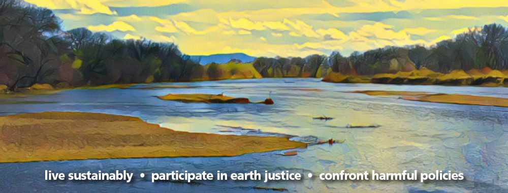
Rio Grande Watershed Poster
Created by mid Rio Grande Times. Feel free to download.
Overview of Water Law in Our Watershed
New Mexican law governing the allocation of water is complex. Below are some general facts; however, many of these statements have never been adjudicated in court so they have not met a final test.
The process of adjudicating water rights to determine who has what right to use water is difficult and takes time. One of the longest running cases in U.S. Federal Court history was over water rights here in New Mexico. In 1966, the NM Office of the State Engineer (OSE) sued all claimants for water in the Pojoaque River Basin in order to determine who had what rights to use the Basin’s water. Forty-six years passed before that lawsuit was finalized in 2012. The settlement established a water system for the Pueblos of San Ildefonso, Pojoaque, Tesuque, and Nambe, plus parts of Santa Fe County.
FEDERAL LEVEL
New Mexico is part of the Rio Grande Compact, which was approved in 1938. Compacts are written when water flows through more than one state. New Mexico is part of 8 compacts: Upper Colorado Basin, Rio Grande, Pecos, Colorado River, Animas-La Plata, La Plata, Canadian, and Costilla Creek. Compacts, like treaties, have to be approved by Congress. At this time, the mid Rio Grande Times does not know which compacts are in litigation.
Texas has sued New Mexico, alleging that New Mexico has failed to deliver to Texas the amount of water required by the Rio Grande Compact. The case is at the U.S. Supreme Court because all water cases between states must be filled there. A decision may come in the summer of 2022 unless Colorado, New Mexico, and Texas can negotiate a compromise. At issue is the amount of surface water being delivered to Texas by the Rio Grande. Texas has alleged that groundwater pumping in New Mexico south of Elephant Butte has limited the Rio Grande’s surface water flowing South, since groundwater and surface water are connected.
By Federal Law, Native American rights to water are prioritized over all other users. Under the Winters doctrine, Native American nations have water rights with a priority date of “time immemorial,” which is earlier than any dates issued by the OSE. The amounts of water each Nation has the right to use is calculated on the basis of how much water the members of the Nation are using for irrigation; the calculation is usually based on the amount of “practicably irrigable acreage” the Nation has. This does not mean that each Nation has to use its water rights to irrigate land; the water can be used for any purpose.
NEW MEXICO LEVEL
The New Mexican Constitution states that water may only be used for “beneficial” purposes, but does not define beneficial use.
Water rights are considered property and can be leased or sold but it is the right to use the water that is transferred, not outright ownership of the water itself. Water is owned by the public, and people and entities can only obtain the right to use the water.
Permits for use of both surface and groundwater are issued by OSE. In 1907, OSE requested all New Mexicans using surface or groundwater to fill out an affidavit of their claim to water rights. This included 1) the quantity of water, 2) the year they initiated beneficial use, 3) purpose of use, 4) description of the delivery system, 5) location of a diversion, and 6) amount of land irrigated. Since 1907, anyone wishing to use water must first obtain a permit from OSE.
In accordance with the “prior appropriation” doctrine, water rights are based on seniority: first in time is first in right. Those first granted rights by date get all the water they have permits for before junior rights receive any.
Domestic wells for household, livestock, and irrigation can use up to three acre feet/year but there are no gauges to monitor usage.
Under state law, acequia associations have legal easement after continual use for irrigation for five years. This easement includes both the mother ditch and laterals. Once an easement is established, it remains intact. The acequia association also has right-of-way access across private property in order to maintain their acequia. Most of the acequias have been in existence for hundreds of years.
The San Juan-Rio Chama Diversion was completed in 1972 to bring water from the Colorado watershed into the Rio Grande watershed. The Diversion is 26 miles long and includes a tunnel and smaller stream diversions. The City of Albuquerque relies on this diversion for between 35 and 70% of our drinking water, varying by year.
Sue Brown in collaboration with Doug Meiklejohn NM Environmental Law Center
Green Stormwater Infrastructure
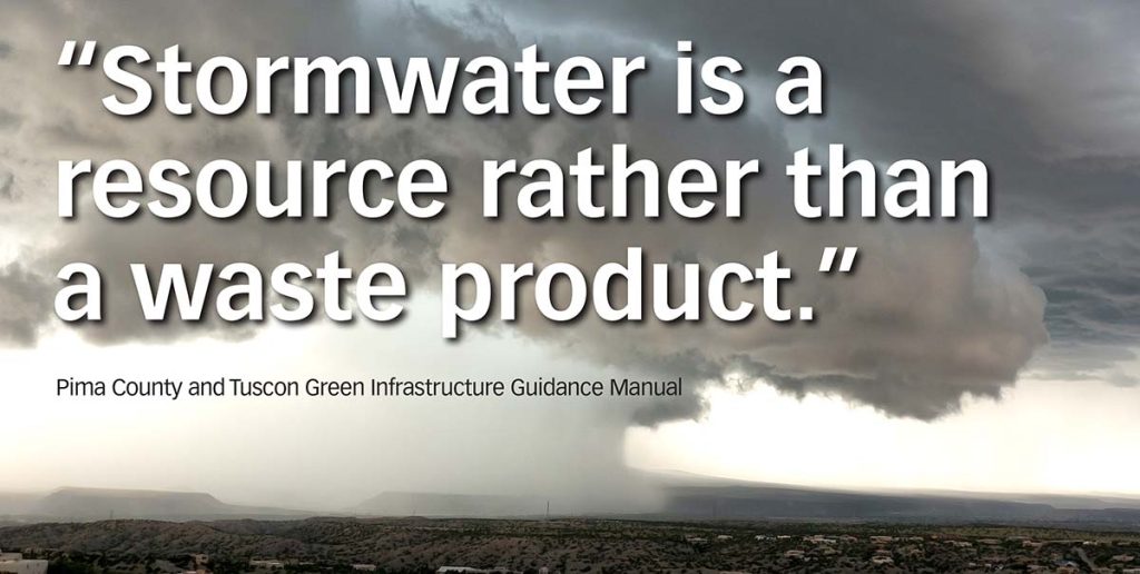
“Green Infrastructure is a new term for an ancient idea. For millennia, humans have known that survival depends on effective management of freshwater resources. Working with natural water systems yields healthy crops, plentiful hunting and fishing, flood-free homes, and clean drinking water. However, the balance was disrupted by nineteenth century industrial revolution ideology which sought control of systems (including water systems) for maximum efficiency, commodification, and profit.
Particularly after the Second World War, the quest for efficiency and control led to the containment of stormwater in concrete pipes and channels. This approach concentrates pollutants and increases flow velocity, both of which cause significant damage to natural waterways… Green Stormwater Infrastructure (GSI) practices seek to reconnect water to the land, use natural systems to filter pollutants and decrease velocity, and create a healthy environment for humans and other species.” (1)
Practices to manage stormwater differ, from areas of high rainfall to those with little such as the arid to semiarid mid Rio Grande. Tucson is a comparable municipal area which has adopted a GSI approach to water management. This began as grassroots actions over 20 years ago and is now driving land development policies to use water as close to where it falls as possible to support the natural landscape. GSI practices may be more important in arid and semiarid areas according to research modelling done in Salt Lake City.
The Environmental Protection Agency (EPA) is now requiring certain features of GSI in their permitting. However, in the mid Rio Grande, there are over 20 agencies overseeing and providing permits for various aspects of water quality and quantity (Federal, State, regional, municipal, and tribal). This is a major barrier to an overall plan. Then again, since this region has varied geographical features and ‘prior water rights,’ it allows decisions to be made by smaller populations in unique areas of our watershed.
The EPA Hydrologic Cycle purports that if GSI practices using trees and ground covers are in place, runoff is reduced to 10%. Compare this to 55% runoff in areas with mostly impermeable surfaces like pavement. When this water resource goes down the storm sewer, our community’s potable water use continues to be higher than it needs to be. We are, in essence, wasting drinking water.
What can we do in our yards, neighborhoods, and city-wide?
Continue reading