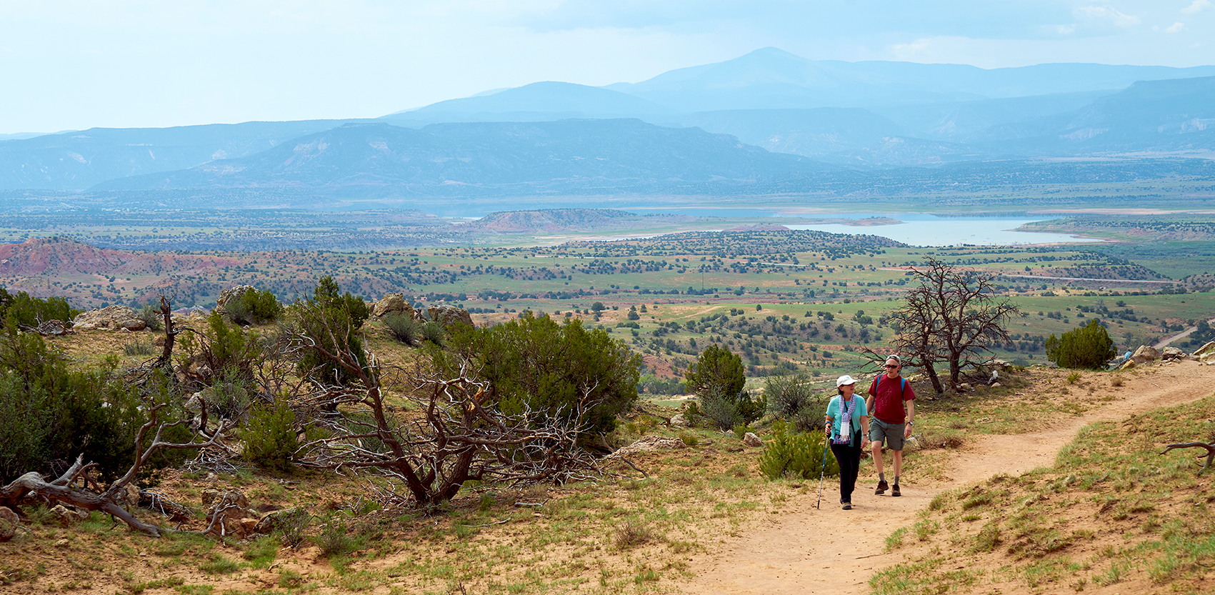
According to National Oceanic and Atmospheric Agency (NOAA), this area has been in increasing drought for years. “Drought intensity is projected to increase and snow-pack accumulation is projected to decrease which will pose a major challenge to NM environmental, agricultural and human systems.”
Drought is more than decreased snow/rainfall. It is important to combine it with temperature change. Increases in the latter effects the rate of evaporation from reservoirs, lakes and streams as well as the melting characteristics of snowpack. This combination of decreased precipitation and increased heat are the major contributors to our decreasing soil moisture. While the future amount of precipitation is hard to estimate, it is thought it will be erratic and therefore less predictable in amount and timing. The increase in heat in NM over the past 50 years has been two degrees and by some is estimated to at least reach a total of five degrees increase by 2060. This increase is in both daytime and nighttime temperatures.
SURFACE WATER
Surface water is what you see in reservoirs, lakes, rivers, arroyos, and streams. Surface water through millennium has filtrated through fissures in rock and formed larger collections of water underground called groundwater or aquifers.
In order to understand surface water, gauges have been set up all along the Rio Grande. The first one was established in 1886 at Otowi Bridge. The gauges measure amount of water and flow rates. They are monitored by the US Geological Survey. The information gathered by gauges determines the amount of surface water CO delivers to NM and that we then deliver to TX (which starts at Elephant Butte dam)
Most rivers world-wide and in New Mexico, run sporadically. These often do not have gauges to measure the amount of water when it are flowing. This gap in data makes it difficult for water managers to assess the amount of surface water we have and whether it will be adequate to recharge the aquifer. “Understanding how the drought is affecting water resources in NM really depends on our ability to know surface water resources,” according to George Allen, hydrologist at Texas A & M.
The Bureau of Reclamation controls the dams and the reservoirs of surface water behind them. In NM the major dams are at El Vado, Cochiti, and Elephant Butte. Because of increasing drought in the SW, the Bureau has restricted Colorado River water in various states. For example, in AZ, they enacted Tier 1 restriction in 2021 and are about to move to Tier 2 which will farther reduce the availability of water for agricultural and municipal drinking water supplies. Will they need to do this in NM? The average effective life of a dam is 70 years before silt decreases its effectiveness. Elephant Butte reservoir is now at only 14% of capacity and evaporating at a faster rate because of increasing temperatures. Its hydropower generators run only a few months of the year. Texas is currently suing NM in the Supreme Court for taking too much water south of this dam for our chili and pecan industries. What is the future of this dam?
GROUND WATER
Ground water (or aquifers) only exist because of surface water. Aquifers are defined as a body of water in rock fractures (spaces) where water can move freely since it is restricted by layers of non-porous clay or rock above and below. Surface water must recharge ground water when it is pumped out in order to keep a constant amount in an aquifer. In other words, there is no underground lake like we thought in the 1960s, only pockets of water contained in rock fissures! This water can move horizontally, diagonally, vertically, but usually downhill because of the force of gravity.
The recharge of aquifers is done mainly from snow and rainfall which becomes surface water before becoming ground water.
Levels of groundwater are more difficult to measure than surface water. The NM Collaborative Groundwater Monitoring Network attempts to do this. Over 400 operators of wells across NM as municipalities or private well owners agree to measure the level of water in their well at a set frequency, at least annually. This data is sent to the NM Bureau of Geology and Mineral Resource where it is then aggregated to give an overall picture of available water in various areas of the state. It is reported as stable or as a decline rate. The total volume of water in an aquifer is unknown.
The most common device to measure the depth of water is a steel tape dropped into a well and noting the distance from ground surface to the point where the tape first contacts water. In the mid Rio Grande basin, there are many well operators and owners cooperating, but in other part of the state, data is lacking. There are also some less widely used ways of monitoring devices as air-line and electronic and sonic meters. Satellites can tell the big picture, ie., the decreasing size of the Ogalala Aquifer but are not used for monitoring smaller aquifers.
As groundwater decreases in an aquifer, at a certain point the quality of the water decreases and becomes brackish. The remaining water is higher in Total Dissolved Solids (TDS) often reported as increased salinity. Another example of decreasing quality of groundwater is an increased level of Arsenic, especially in areas of sedimentary and volcanic rock. The EPA standard is less than 10 parts per billion. According to the recent ABCWUA report, our treated drinking water is well below at 1.3 parts per billion due to their good treatment.
ABCWUA provides our drinking water from a combination of surface and pumped ground water. In the last several years, the use of ground water has increased to 71% of our total drinking water. If the ground water is not recharged this pumping is unsustainable.
by Sue Brown