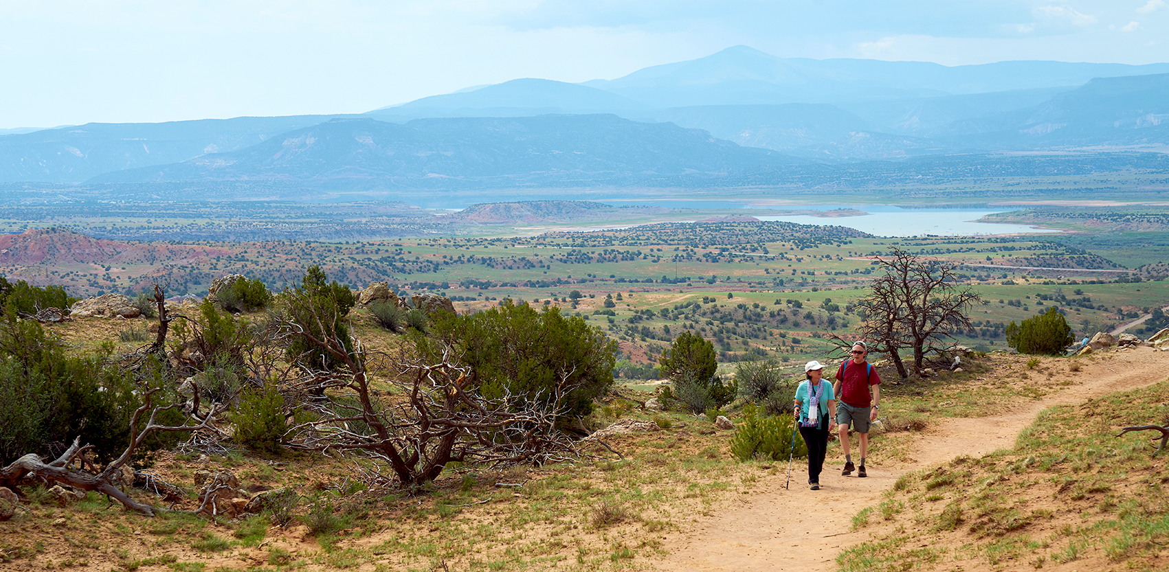
Otowi is a word in the Tewa language meaning ‘place of noisy water. This place is on the ancesteral land of the San Ildefonso people. In 1889, the U.S. Geologic Survey choose Otowi as the location of its first national stream gauge with the purpose of determining if adequate water was available in the New Mexico Territory for irrigation purposes and if the government should encourage new development and westward expansion. They decided to go ahead with expansion, and the Otowi Bridge gauge near where the Rio Chama flows into the Rio Grande remains a major measure for water law. Sixty percent of the water passing the Otowi gauge has to be delivered to Elephant Butte, which by compact, is considered the delivery point of water to fulfill New Mexico’s obligation to Texas.
But what is a compact? Every time water crosses a state line, a compact, similar to a treaty, is written and ratified by congress. New Mexico is part of eight different compacts. In 1938, the state legislatures of Colorado, New Mexico, and Texas signed off on our largest compact known as the Rio Grande Compact. The purpose was to “equitably proportion water in the Rio Grande basin and to remove causes for present and future controversies.”
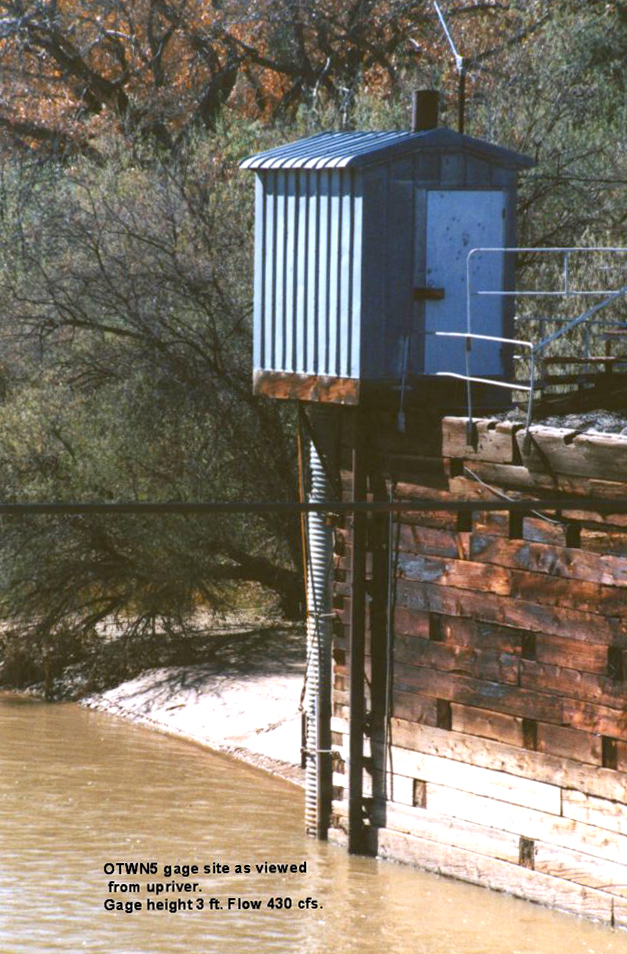
The U.S. Geologic Survey placed index markers (gauges) at intervals along the river so they could monitor the flow of water downstream. New Mexico is to deliver 12 billion gallons of water to Texas each year but we have struggled to do so. The trend over the past 10 years shows us falling behind. Currently we are about 100,000 acre feet in arrears. (One acre foot is 326,000 gallons of water.) When the debt reaches 200,000 acre feet we will violate both state and Federal laws. In other words, there are consequences.
Continue reading